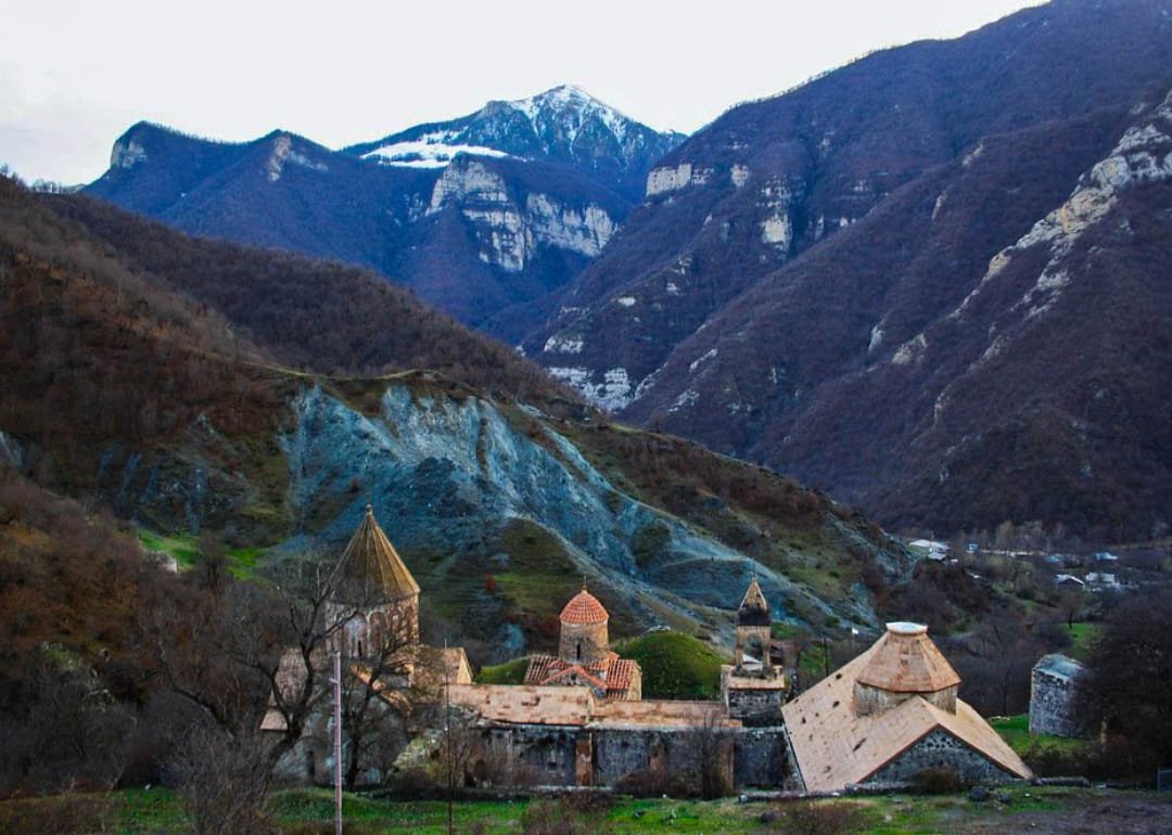
According to an article published today in the Azerbaijani English language site CaspianNews.com, the Azerbaijani names of the villages and cities in Artsakh occupied by Azerbaijan during the 2020 war or handed over by the Pashinyan regime will be reflected on Google Maps, replacing their original Armenian names.
An Azerbaijani technology company operating under the Economy Ministry’s Agency for the Development of Economic Zones, has launched relevant work on manipulating data on Google Maps and other maps, as well as preparing 3D maps of the occupied lands, according to Azerbaijani media.
The Azerbaijani agency purportedly uses LIDAR – a laser imaging, detection, and ranging or 3D laser scanning device for updating the maps and developing 3D maps. It claims that the names of cities, villages, streets and other points located in the Artsakh will soon appear on online maps in their supposed Azerbaijani titles.


